
Know what each observation represents.
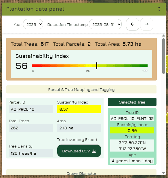
Acquisition date.
Mapped tree identifier.
Crown measurements.
Vegetation indicator.
Water indicator.
Explore the estate at the right level.
Know what each observation represents.
Move from the wider monitoring area to a specific tree. Use the available dates and indicators to see where a closer review may be useful.




Compare observations. Understand the limits.
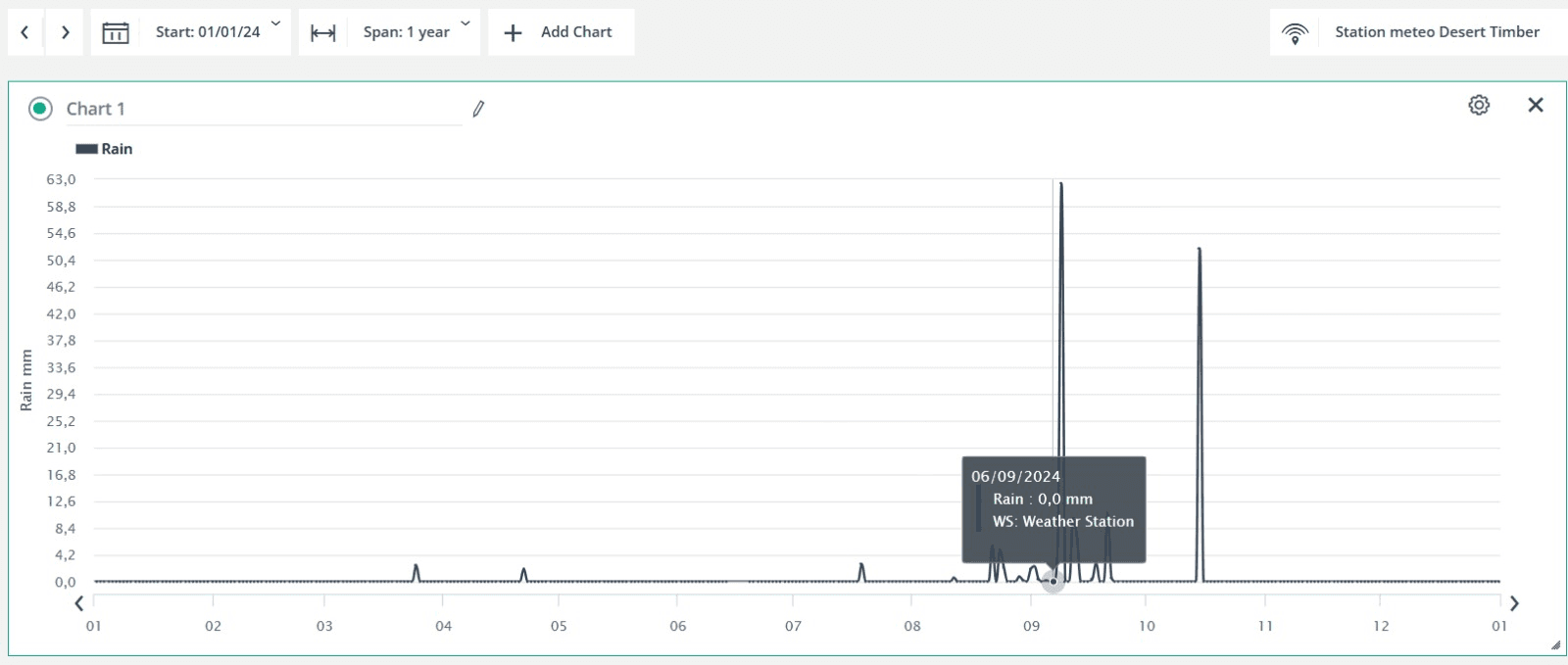
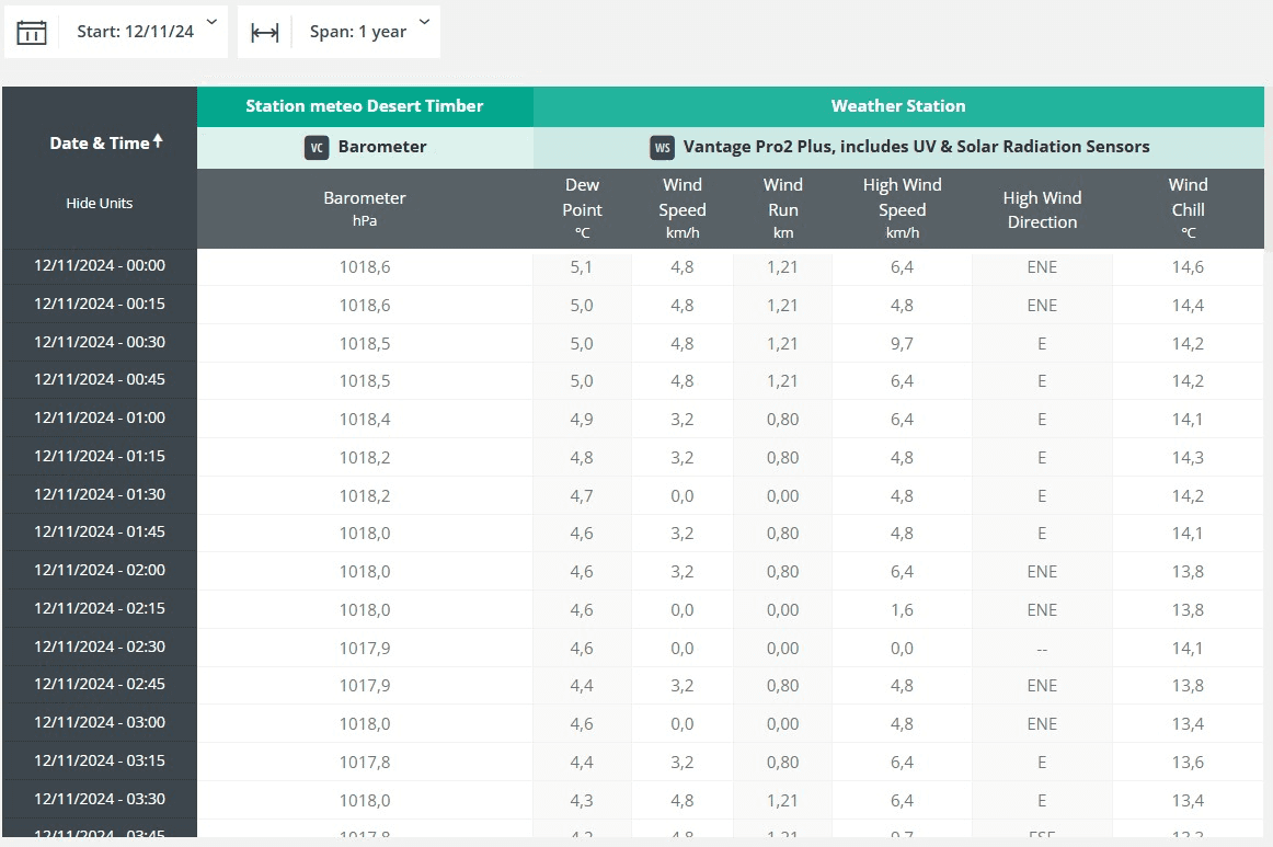
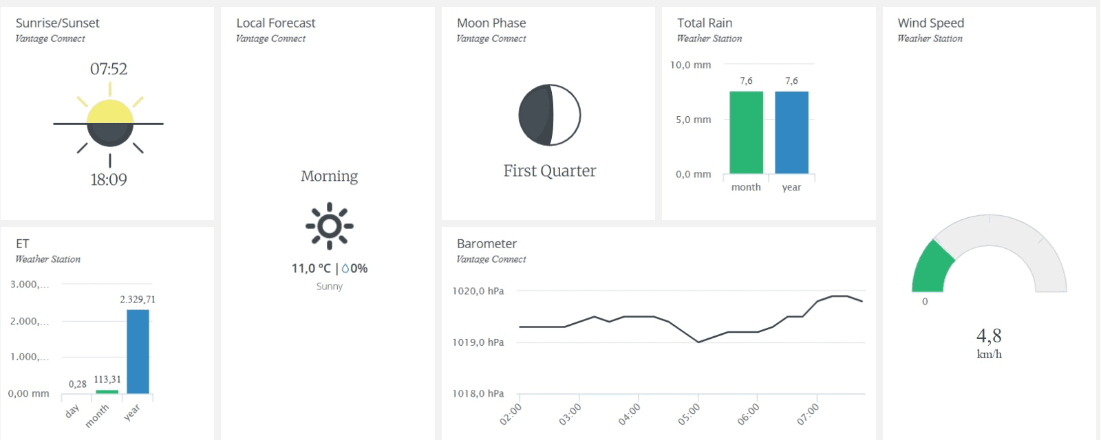
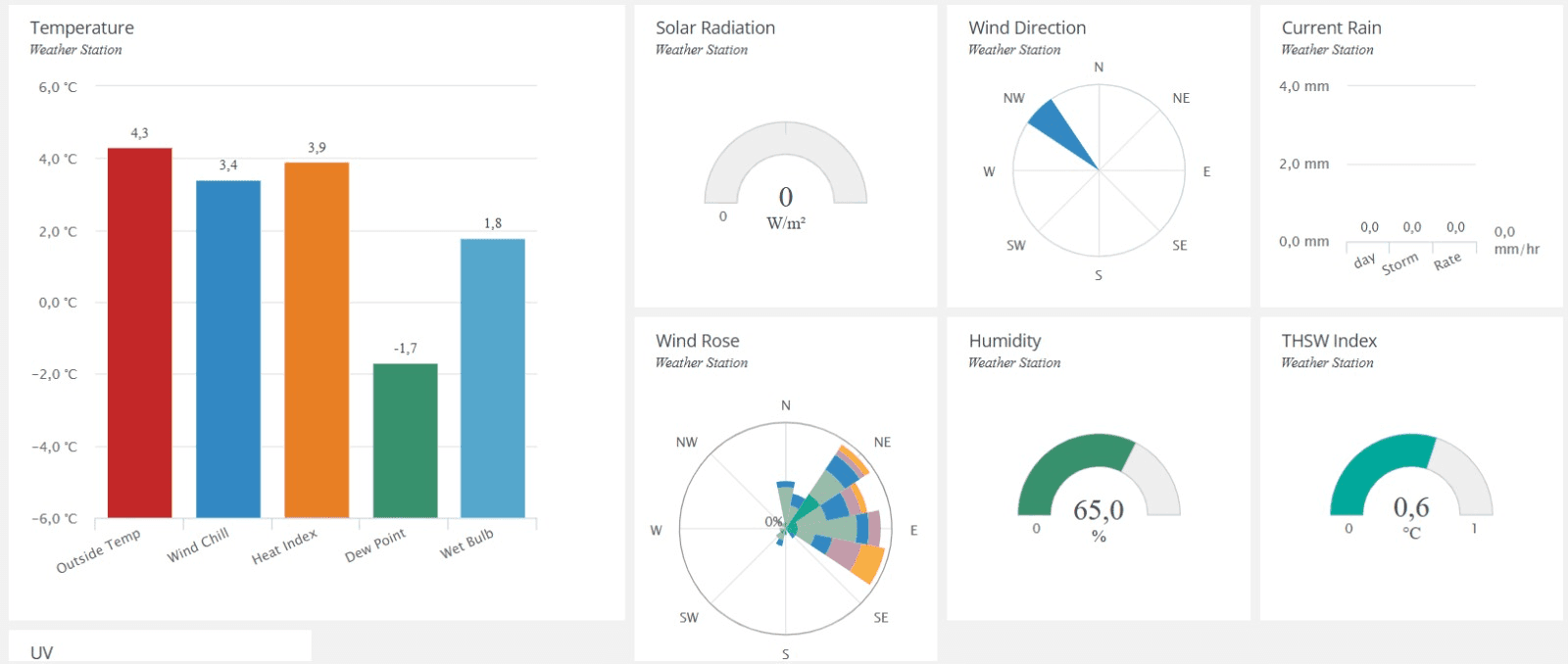
DPO by SciDrones provides dated views and historical charts for the indicators available in a monitoring programme. Reports and monitoring records help teams discuss what changed and what to investigate next.
Crown measurements describe the detected canopy.
Vegetation and water indicators highlight patterns for interpretation and field checks.
Carbon outputs are modelled estimates; they are not certified carbon credits.
Explore DPO by SciDrones
See the platform in action.
Walk through mapped-tree navigation, acquisition dates and historical indicators with our team.